
Civil Land Surveyor Course “3Ds Plan Orbits Tech.”
Civil Land Surveyor Course in Rawalpindi Pakistan 3Ds PLAN Orbits Tech present for Civil Engineering purpose and for Earth surface dimension works as like Area Calculation , Road Work , Building Constructions and Layout of any project.
There are two parts of course.
1: All the important information in Theoretical shape teach to students.
2: Second All practical work with surveyor equipment Leveling machine and Total Station.
Definition & Introduction of Civil Surveying.
” Surveying is art of determining the relative positions of different objects on the surface of the earth by measuring the horizontal distances between them, and preparing a map to any suitable scale. Thus, in this discipline, the measurements are taken only in the horizontal plane.
Levelling is the art of determining the relative vertical distances of different points on the surface of the earth. Therefore, in Levelling, the measurements are taken only in the vertical plane.”
There fore , Just practical training of equipment’s are also available.
Details
All the related information about course given below.
First Theory part of the course included.
Definition and introduction of Surveyor and their types with purposes of the survey.
Leveling , Contouring , and who to contour map draw with the help of contour lines with different elevations.
Terminologies use in survey field understanding in Civil Surveyor Course in Rawalpindi Islamabad Pakistan 3Ds PLAN Orbits Tech.
Level sheet creation methods and who to read and understanding level sheet.
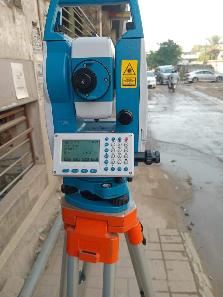
Information about Leveling machine and Total Station with their components.
Second Part of the course Equipment use.
Adjustment Level Machine with Level at TriPort , fully training who to level bubbles in few time.
Therefore who to take reading at staff from LM Telescope.
So must be understanding the cross hair in leveling machine to take reading at staff.
Because of important role of staff must be understand the staff in different units as inches or mm , cm and meters.
Finally who reading recorded at level sheet and derived the RL with the help of Bench mark assumed.
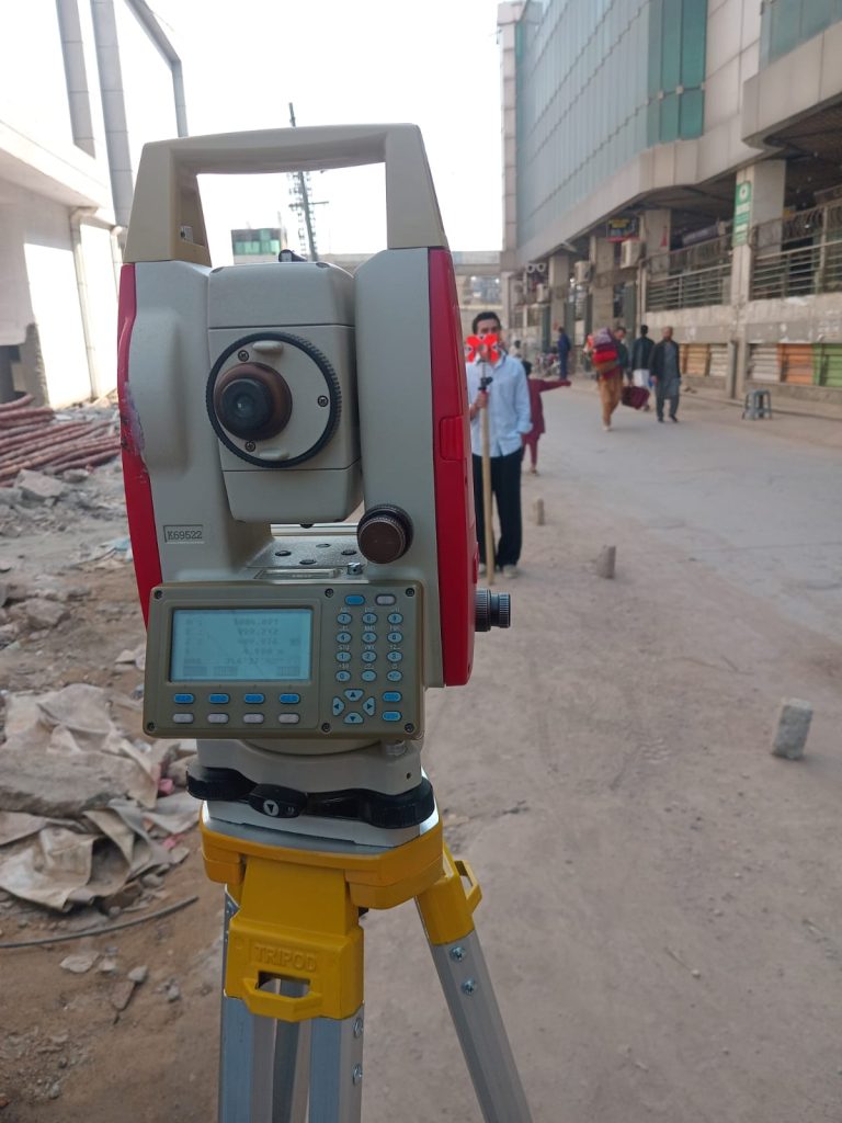
Total Station adjustment at TriPort and who to all level set at occupational point then adjust bubble for horizontally adjustment.
Who to take reading at prism and make stroke at the direction of prism or adjust the target to take reading.
So similarly Area calculation in Civil Surveyor Course in 3Ds PLAN Orbits Tech.
Create and edit job or file of point data.
Save the points take from reading.
export file from Total Station to CSV.
For Road designing purpose and Surface cut Fill purpose Civil 3D use.
GIS is also a modern shape of Surveying .
Course Cover.
Introduction and Definition of Civil Land Survey.
Purpose of Civil Survey and different categories of Survey.
Rights and Duties of civil Surveyors.
What’s are the Responsibilities of Civil Land Surveyors.
Who many types of surveying uses.
Levelling and its types.
who we can noted level values in Level sheets and Reduced Level.
Importance of Levelling during or before Construction and others project.
Why Leveling is the main part of Civil Land Surveyor.
Therefore , What type of instrument use for leveling at land surface or construction surfaces of and objects.
Leveling staff required with imperial and metric system required in Civil Land Surveyor Course in Rawalpindi Pakistan.
Another way of leveling with total station.
But auto level is most use in leveling field area because its way of use essay than total station.
Total Station is sensitive instrument related Civil & Land Surveying field for area use and taken dimensions of objects.
First remember the total station self leveling is also very important than we can take next point coordinates.