
A Civil 3D course in Rawalpindi, Pakistan is designed to help students and professionals master modern civil engineering design and drafting techniques. The training introduces learners to core features such as surface creation, alignments, profiles, corridors, and road design. With a structured and practical approach, students learn how to handle real project data, analyze terrain, and prepare accurate engineering drawings. Whether someone is building foundational skills or enhancing their existing expertise, the course provides clear guidance and hands-on practice to make complex tools easy to understand.
What makes this course valuable is its focus on real-world application. Participants work on practical infrastructure projects such as roads, land development plans, and drainage systems, helping them understand the complete workflow from start to finish. Training institutes in Rawalpindi emphasize updated software techniques, expert instruction, and project-based learning that prepares students for professional success. By the end of the course, learners gain the confidence to work with engineering firms, construction companies, and consultancy offices, using Civil 3D to deliver accurate, efficient, and industry-standard designs.
Civil 3d For Roads.
First who point data import which is in csv or any excel format to create contour or any style of surface.
Secondly create surface and annotation styles adjustments and label styles.
So now draw Alignment at horizontally surface plan.
Create profile and profile view.
Finally Draw Design profile.
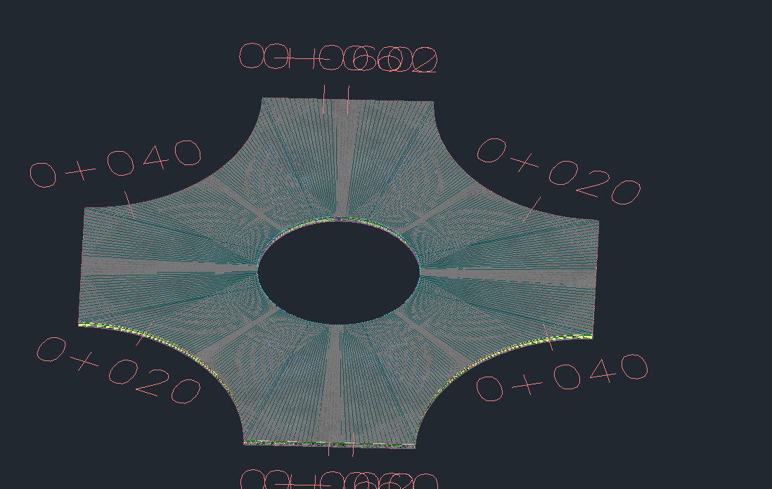
Because of must part of Assembling Create Assembly in details.
So the Corridor is Run now with Horizontal alignment and Vertical Profile at surface.
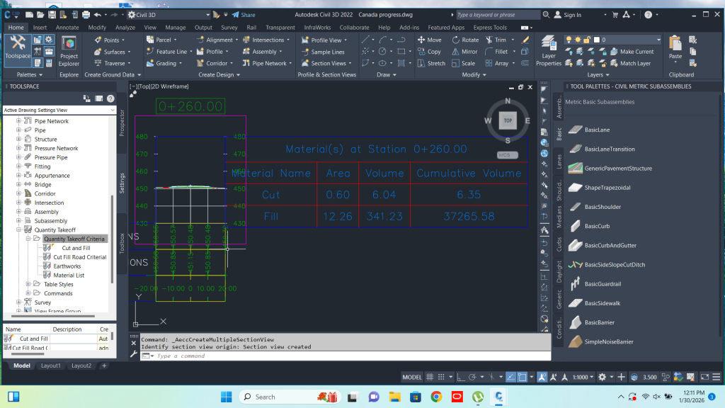
Therefore , now the stage for Simple section sets and material quantity structural base report generate.
Drive way is the for presentation of the road.
The cut fill balance report and cut and fill with section sets are also the main part.
Because of Cut Fill main thing is that from range to range who cut fill material added.
Therefore , Ranges should be small size for the accuracy purpose.
Similarly Stock Piles also can be measure easily with same method as like cut fill balance report.
Although , the value of stock we can calculate with the elevation style of surfaces and level ranges.
For this purpose surveyor take points from total station around side of material stock.
Finally Superelevation and Road widening added.
So Final part is roundabout and Intersection Creation at the end.
Because of Crossing the roads two or more create the intersection.
There are two methods of intersection road draw.
First automatic intersection create.
Second manual intersection with offsets alignment.
Create Roundabout with island.
Add the directional Roads with different properties.
Course Outline
- Introduction to Civil 3D & Project Setup
- Surface Creation, Contours & Terrain Modeling
- Alignments, Profiles & Cross Sections
- Corridor Modeling & Road Design Basics
- Pipe Networks: Sewer & Drainage Design
- Quantity Takeoff & Engineering Documentation
- Final Project & Practical Workflow Training